The Protected Landscape Area of Pálava was declared by the Ministry of Culture of Czechoslovakia No.
The Protected Landscape Area of Pálava was declared by the Ministry of Culture of Czechoslovakia No. 5790/76 of 19 March 1976 in the territory of the Břeclav district. Its area is 83 km², of which about 30% falls on forests , mainly on Děvínand in the eastern part of the territory, and 55% on the agricultural land fund. Water areas occupy 2% of the area, the built area is about 2.5% and the other areas are about 10.5%. The western part of the territory, ie the Pavlovské vrchy, has a highland character, while the eastern part, ie the Milovická hill, has the character of a rugged hill. Only the northeastern part of the protected landscape area, which extends into the Dyje-Moravian floodplain, and its most southern tip in the Nesytská basin have a flat surface.
The highest point is the peak of Děvín (554.4 m above sea level), the lowest point of the river Dyje at the eastern edge of the village Bulhary (about 152.5 m above sea level).
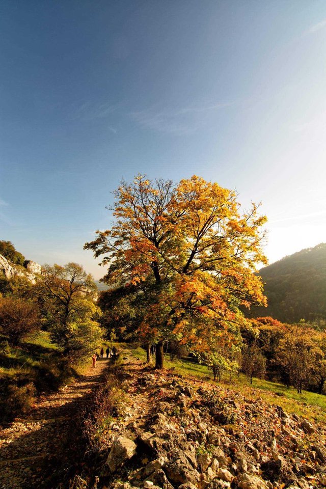
The mission of the protected landscape area is to protect the cultural agricultural landscape, which is influenced by people continuously from the older Stone Age. The long-term goal is to preserve a wide variety of species-rich natural and semi-natural communities with significant, especially thermophilous species of plants and animals while preserving the typical landscape character.
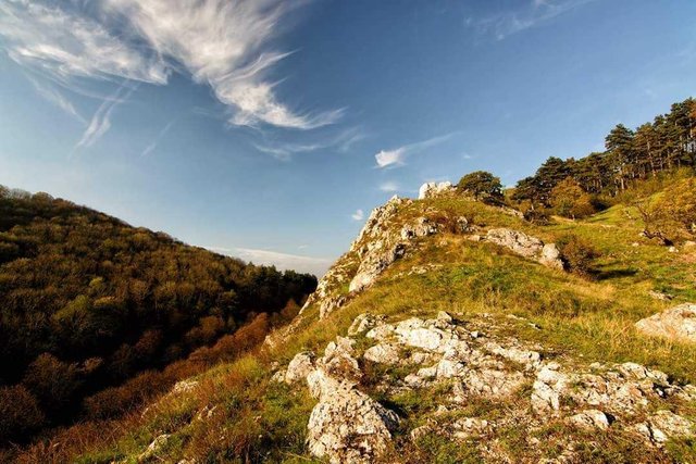
The dominance of the area is made up of limestone rocks with natural and semi-natural rock, steppe and forest biotopes, as well as remarkable geomorphological and geological formations. In the forests is still preserved the nature close to woody structure. The territory is floristically and faunistically very rich and biogeographically important: in particular, many animal species have only one site in the Czech Republic. The Pavlov Hills are a great demonstration of the mountain range in the middle of the warm lowlands, which gives them a peculiar character, which undoubtedly attracted our prehistoric predecessors. Varied historical sights are complemented by varied nature and harmonious landscapes. By the UNESCO Biosphere Reserve, the protected landscape area of Pálava became 16. 6. 1986. In 2004 this reservation was extended by the Lednice, Valtice and Niva rivers of Morava and Dyje above their confluence; on this occasion it was renamed Dolní Morava Biosphere Reserve.
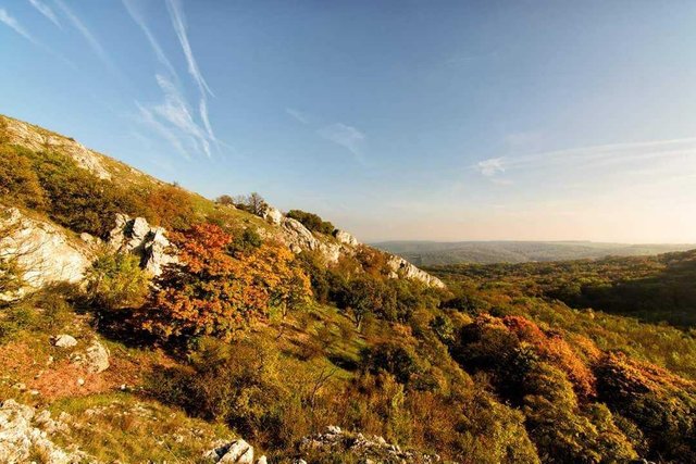
The territory of Pálava was also included in the Natura 2000 system, which includes areas with significant natural values across the Czech Republic. There are eight sites of European significance and one bird area in the Pálava Protected Landscape Area.
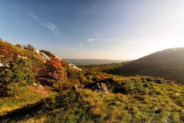
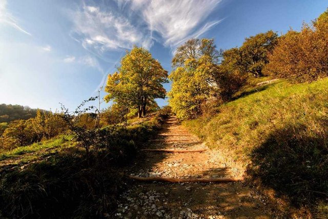
The Protected Landscape Area of Pálava is situated in the warmest and driest area of the Czech Republic and has an almost Mediterranean character. The local landscape is a vast fertile fields and vineyards, snow-white limestone cliffs and rocky steppes and forest steppes with an unusually rich thermophilic flora and fauna. Pálava is one of the longest settled places in the Czech lands. This is where the excursions of the prehistoric camps of mammoth hunters are crowned by the famous find of the ceramic statuette of the Věstonice Venus. Pálava became in 2003 part of the biosphere reserve by UNESCO Dolni Morava.
the protected landscape area of Pálava was declared on 19 March 1976; from 1986 to 2003, Pálava is also a biosphere reserve; in 2003 the Pálava Biosphere Reserve was extended by other important adjacent areas and renamed the Dolní Morava Biosphere Reserve.
Pálava was declared a protected landscape area mainly because of its unique landscape character and unique natural conditions. There are many rare thermophilous species of plants and animals, which are the largest populations in the Czech Republic or are not present anywhere else in the Czech Republic. Thanks to its location Pálava has an almost Mediterranean character and is the most famous wine-growing region in our country.