SURVEY PREPARATION 2 (last)
good morning all, hopefully always in good health and start the morning with positive expectation. I will now describe the preparation as well as the final goal of the survey preparation.

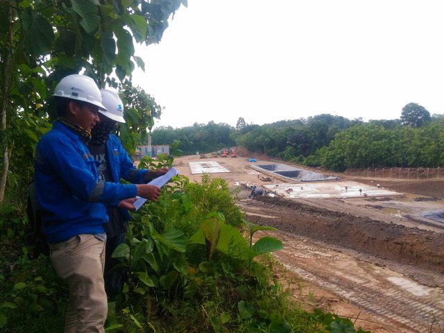
After the boundary of the land is confirmed, immediately check the level and contour of the existing soil, to get the reference data of the building level and the infrastructure to be implemented. as for the equipment needed in the implementation of the final preparations are:
- Base area map
- GPS (Global Positiioning System)
- Compas
- Hammer
- Meter Gauge/Roll meter
- Thumbtack
- Wood stakes
- Spray paint
- Safety Line
- Umbrella
- Self-protection equipment;
1.Helmet
2.Glove
3.Protective glasses
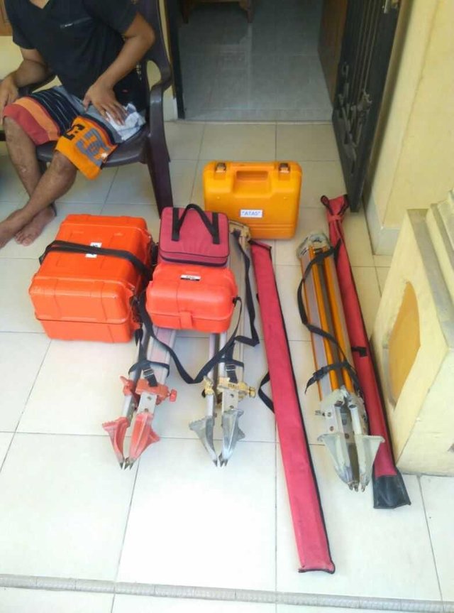
4.Safety Boots. - Main Survey Tools;
1.Waterpass/Theodolite/TS,
2.Tripod
3.Prism/Yalon/stick meters
4.Pendulum - Stationary

Well, that's the list of tools needed just before the survey, which each particular type selected also determines what method will be used in the application later.
that was a brief discussion of final preparation before the survey, and in the next discussion we will discuss the details of the aforementioned. I know this paper is still very much lacking, therefore if there are any questions, criticisms or suggestions, please write in the comments to be discussed. thank you
Vote exchange site https://mysteemup.club
Hey @rikudo, great post! I enjoyed your content. Keep up the good work! It's always nice to see good content here on Steemit! Cheers :)
Best Job n great post @rikudo
terimakasih mas @kakay, mohon bimbingannya jika ada yang silap dan salah