Cht hill sadigang
Geography
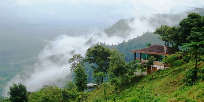
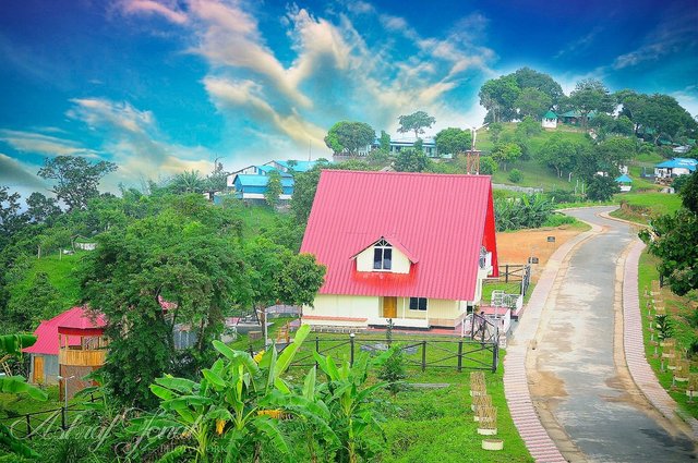
Hill Tracts (CHT) the only extensive hilly area in Bangladesh lies in southeastern part of the country (210 25' N to 230 45' N latitude and 910 54' E to 920 50' E longitude) bordering Myanmar on the southeast, the Indian state of Tripura on the north, Mizoram on the east and Chittagong district on the west. The area of the Chittagong Hill Tracts is about 13,184 km2, which is approximately one-tenth of the total area of Bangladesh. The Chittagong Hill Tracts, combining three hilly districts of Bangladesh Rrangamati, khagrachhari and Bandarban districts.[1] The mountainous rugged terrain with deep forests, lakes and falls gives it a divergent character from the rest of Bangladesh.

Demography
According to the census of 1991, the population was 974,447, of which 501,114 were indigenous peoples and the rest were from Bengali (Muslim and Hindu) community. The indigenous populations include the Chakma, Marma, Tripura, Tanchangya, indigenous Assamese, Keot (Kaibarta), Chak, Pankho, Mro, Murang, Bom, Lushei, Khyang, and Khumi,[2] and differ markedly from the Bengali majority of Bangladesh with respect to language, culture, physical appearance, religion, dress and farming methods.[3]
The population of the three districts (zilas) totalled 1,587,000 in the provisional returns of the census of 2011, make population density rough 120 per km2. About 34% of the population are indigenous peoples and mainly followers of Theravada Buddhism; 65% of the inhabitants are Bengalis (Muslims and Hindus); and 1% Christians or animists.

Hi! I am a robot. I just upvoted you! I found similar content that readers might be interested in:
https://www.revolvy.com/main/index.php?s=Chittagong%20Hill%20Tracts
Congratulations @sumonck! You received a personal award!
You can view your badges on your Steem Board and compare to others on the Steem Ranking
Vote for @Steemitboard as a witness to get one more award and increased upvotes!