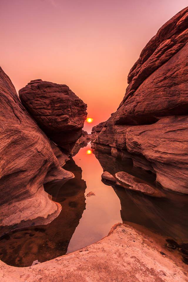
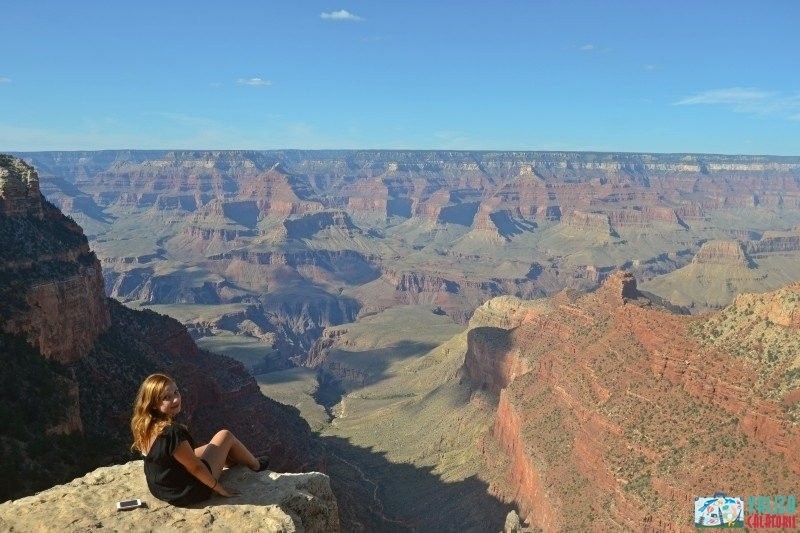
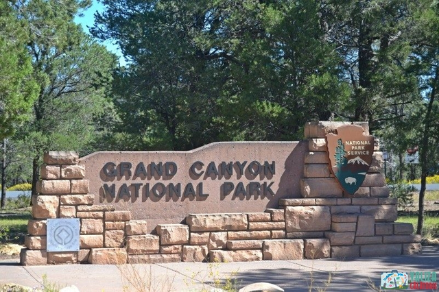
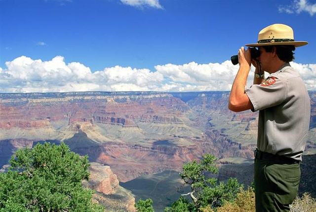
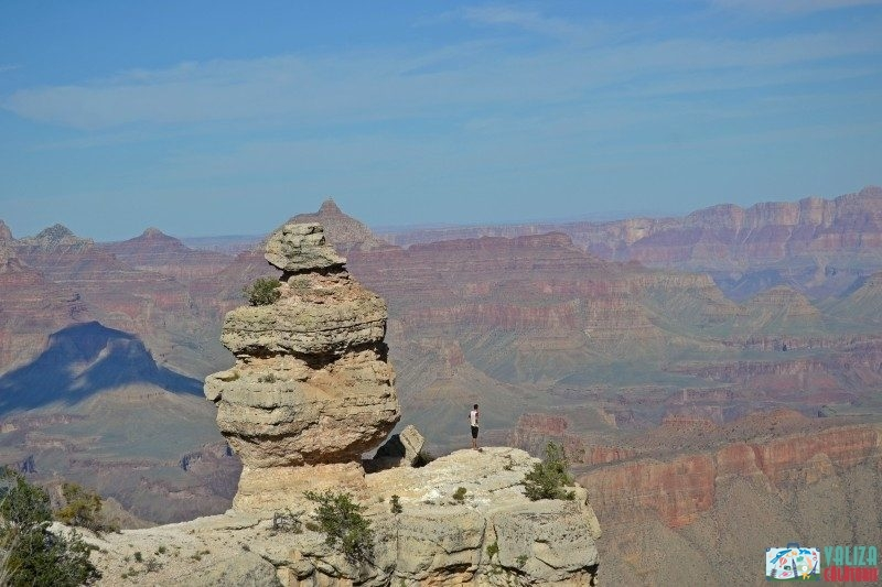
Grand Canyon, Arizona, USA.
The Great Canyon is a very long river of erosion, 446 km (or 277 miles), and very deep, sometimes reaching about 1,600 meters (or 1 mile) deep, being cut into the Colorado plateau and exposed to rock layers from Precambrian and Paleozoic. The canyon appears in many versions of the list of the seven natural wonders of the world, although none of these lists is produced by any authority in the field, nor are they definitive. The exposed layers are gradually revealed due to the slope that starts at the point called Lee's Ferry and continues to the point known as Hance Rapid. The canyon ends when the river passes the place called Grand Wash Fault, which is located near Lake Mead.
The upward movement associated with mountain-generating events caused by the tectonic plate movements (orogenesis) led to the lifting of these sediment packets with hundreds of feet (thousands of feet), creating the Colorado Plateau. Raising also led to increased rainfall in the Colorado River drain / drainage area, but was not enough to change the semi-arid climate in the Grand Canyon. Land landslides and other gravitational pull phenomena have led to downstream erosion and capture - all of these phenomena tend to determine the depth and width of canyons in arid areas.
The elevation of the Colorado Plate was uneven, so the Nordic Canyon Nordic Range is about a thousand feet (300 meters) taller than the Southern Rama. This asymmetric elevation also explains why the Colorado River flows closer to the Southern Rama. Almost all leaks on the plateau behind the Nordic Rama (which also receive larger amounts of rain and snow) go to the Grand Canyon, while much of the leak on the plateau behind the Southern Race does not go to the canyon (in fact, they follow the overall inclination of the relief). This results in a stronger erosion, and thus a faster stretch of the main canyon, but also of the tributaries north of Colorado River.
Due to the higher elevation (8000 feet / 2438 meters above sea level) temperatures on the North Rama are generally lower than those on the South. In the winter months, abundant snowfall is a common thing. In general, the view on the Nordic Rama offers a better picture of the expansion of the canyon than that of the Southern Rama.
This post has received a 2.33 % upvote from @aksdwi thanks to: @ionutciobanu.
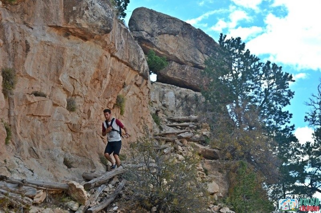
The Grand Canyon is one of the most awesome places for pics and hiking. I have been to the bottom 6 times in my life, it always amazes me. I have most recently been going to the canyon via the north rim, around Jacob Lake. There is a lot less people and you get a bit higher elevation