SLC S22W1 / Digital Cartography Basics
designed with canva
I was so good with map reading in my secondary school due to the practicals involved, not like other subjects that we were only taught theory but in geography we had the opportunity to see or exercise what we studied. I studied the map of my country since in my primary school level, we got an Atlas as part of the books for the term, we studied closely due to how animated the whole book looked.
My Geography teacher once gave us an project work to carry out, asking us to draw a drainage map of my country, without hesitation I went on to draw in a cardboard a political map of my country, including all the states in my map, you would know how stressful it is to put in 36 states. Monday came and I rushed to submit my project, the man just looked at it in confusion and he said he asked for drainage map, he gave me enough time that I should re-draw the drainage map which is a lot easier than what I did.
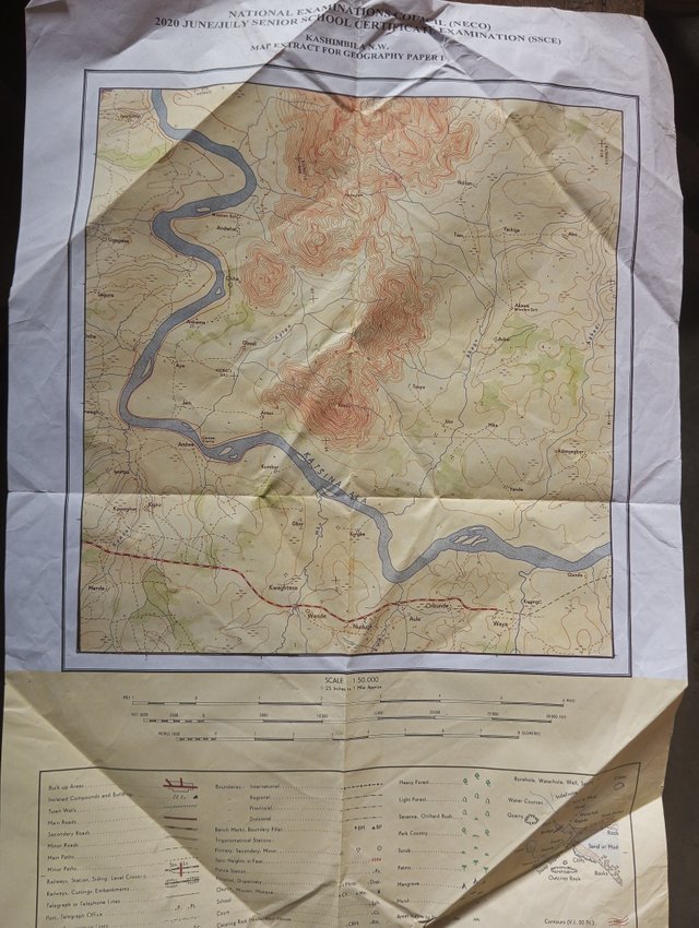 | My Map Examination in 2020 |
|---|
During my country's examination we were given maps with questions to read, study and measure the map. We studied a lot of this so it looked simple for us as we rushed to answer them. We all loved geography I would say.
When I came across this Teaching in school, it was already of interest to me because I love Maps, I noted the homework tasks which involved drawing the map of my country, I made a quick sketch on my notebook and my friend tried also, the drawing on my country's map can never escape from my memory.
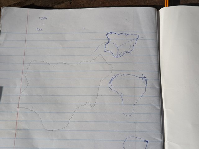 | A quick sketch in school |
|---|
I was very reading for this course, as I came with a list of items;
- A4 paper
- Pencil
- Ruler
- Pen
I don't even know why I brought a ruler with me, cause I didn't make use of it and it's just a freehand sketch
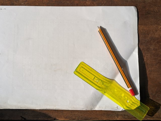 | Tools for my map drawing |
|---|
Without wasting much time, I started with a soft sketch from the top all down, trying to input the curved edges cos I know it is not all smooth, I made a nice curve and the map came out great to me but not perfect because I drew it without any aid of picture, I just drew it due to love I have for maps and the map of my country is still intact.
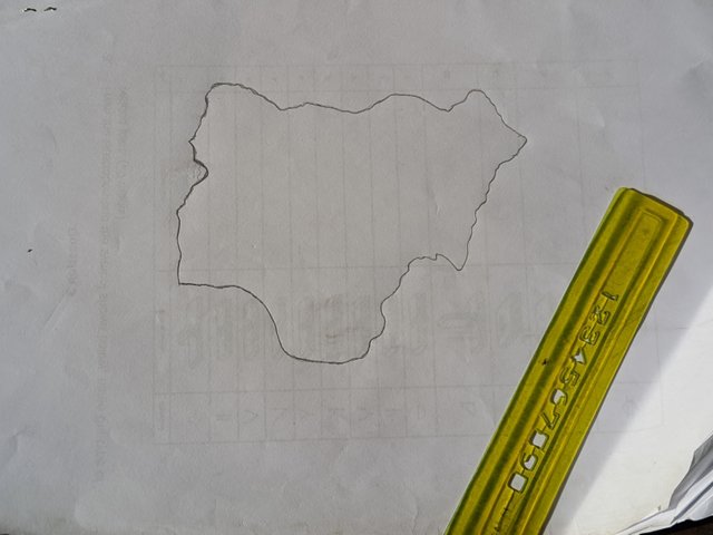 |
|---|
What I noticed is that I have to make the drawing bold enough so It will be visible when I'm about to take a selfie with it. I quickly made it bold with my pen which made the picture stand out sharp.
While drawing I quickly remembered the drainage made I drew and I had to input the major rivers in my country which is the River Niger and the River Venue, this too river just links and divert in an opposite direction from the center. The one by the right flows to 4 or more other countries while the other one empties at lake Chad.
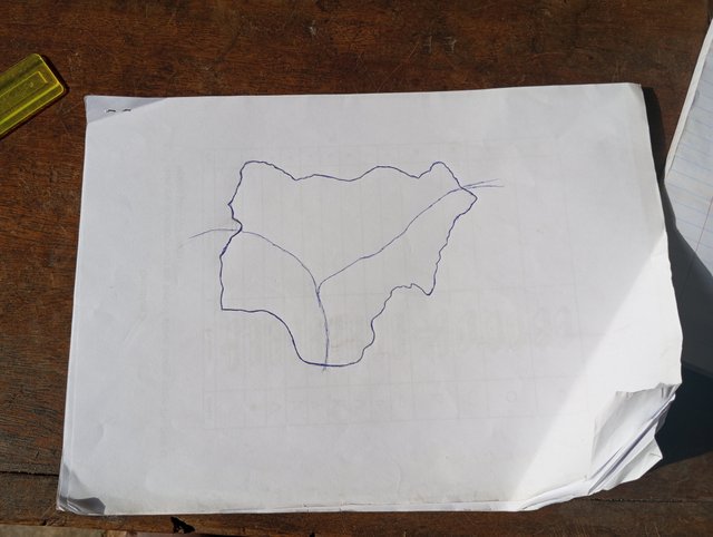 |
|---|
Brining in the states I was able to remember with their respective shapes, I know others but I don't know how well to place them. I brought in the Federal capital Territory which is located in the Heart of the country, it well suits it. The next one was my state which is Akwa ibom state I knew the exact place it is located and also cross river which is a mother state to mine. I included Lagos which is on the western part of the country.
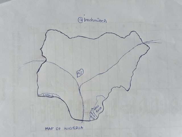
Locate within the map you made some states/departments/provinces
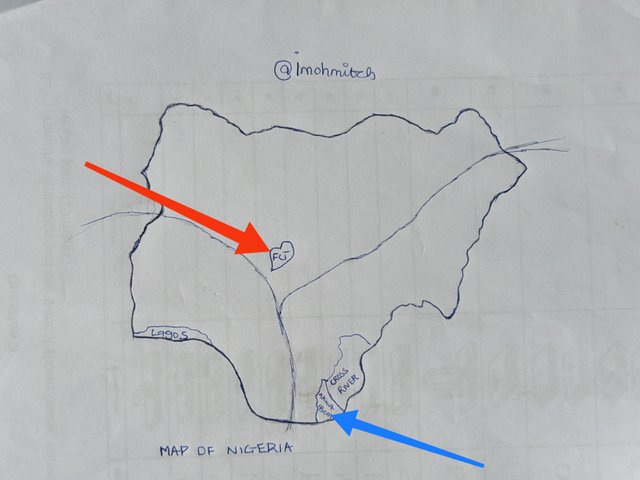 |
|---|
The Red Arrow head shows the federal capital territory, ABUJA which is located in the heart of the country, it is a very wonderful state which holds many businesses headquarters in my country, it is an industrious state.
The Blue headed Arrow which is in the southern part of the map shows the state which I reside in, Akwa ibom state. It is a very peaceful state with lot of places to visit, it was termed the most cleanest state in the country, I would say it is very clean with good road networks.
Mention 3 places in your country that you still don't know and that you would love to visit and why.
I have visited Cross river only and I have many places to explore in my country but due to the task given I will just mention three places I would want to visit now.
LAGOS: I would love to visit Lagos, which is one of the industrious hub of the country, many tourists pay a visit to the country and specifically to Lagos and they enjoy their stay there. I really love site seeing and also seeing beaches, rivers and so on, it will be a good thing to visit because they have good water bodies and islands.
ABUJA: As the central state in my country and the federal capital territory I would love to pay a visit and see those nice places I see online. Would love to attend the luxury life there.
Kaduna: This northern part of the country is known for farming, and the cost of living there is low compared to other states in the country, I would really love to go there and eat some traditional dishes I see online.
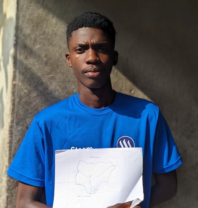
A picture of me and my map
What Is a Map |
|---|
A map is a representation of a geographic location, culture, climate and so many things about a place. A map is used to know certain locations. I have made use of my Google maps several times and I would say it has helped me a lot, it serves as a good companion which helps me not to go missing.
I have seen many seen different maps and I would say that maps gives details about the climate, Topography, economy, vegetation, population of a place or region.
what are the most relevant elements to understand a map and why? |
|---|
| • SCALE |
|---|
I can vividly remember when we enjoyed map reading until our teacher asked us to reduce the original scale of the map and draw out a smaller map, this task was very difficult for us but he took time to explain it and we were all good. We really made use of the scales in our map reading, and he told us how important scales are in maps.
Scales gives us that ratio between distances in maps and the corresponding distance in real life. You need to understand scales in maps because it will allow you to measure the appropriate distances in real time. This also allows you to know the real sizes of some features.
| • TITLE |
|---|
I wouldn't have known which maps people were drawing without looking carefully at the title given. Titles are very important in Maps because it allows you know what region or country the map is representing.
| • Boundaries |
|---|
This are demarcations which separates countries, states, regions and so on. Boundaries on maps helps know a certain location. It is mostly represented with this border lines or things lines based on the region.
| • COLORS |
|---|
Most of not all maps are usually colored and different features are represented with certain colors which helps us understand what feature it is. You can simply know a vegetation, plantation or forest by just looking at the colors used which is green.
In your opinion, is cartography important or not so important? Why? |
|---|
Cartography is very important in everyday life, looking at transportation and so on, they make use of maps. I wouldn't have known how some places in my country will look like, even the shape of my country, but with cartography I am able to know all of this and with the location of my state.
The study of maps has made urban planning and development very easy, they can make a quick overview of the location, Topography and economic details of the area.
I would love to invite @us-andrew @kouba01 and @pandora2010 to take part.
https://x.com/imohgeorge4/status/1869731489707151838?s=19
My twitter share
@tipu curate
Upvoted 👌 (Mana: 3/7) Get profit votes with @tipU :)
Hola imohmitch, éxitos en esta tarea.
Verificado en: 20-12-2024