SLC S22W1 / Digital Cartography Basics
 |
|---|
A map is very important which is why so many of us like to use a map when traveling to a place we have never been to before as it is a visual representation of a place. With that being said every country has its map that shows the characteristics of the state in the country just as in the map of Nigeria where the whole 36 states including FCT Abuja are shown. The map helps us to see the location, distance, boundaries, land features, and several other things of a place. In this post, based on the professor's request I drew my country map.
Make a freehand map of your country (It can be on paper, a computer, or your cell phone, the only condition is that it must not be traced. That is to say: The map does not have to be perfect )
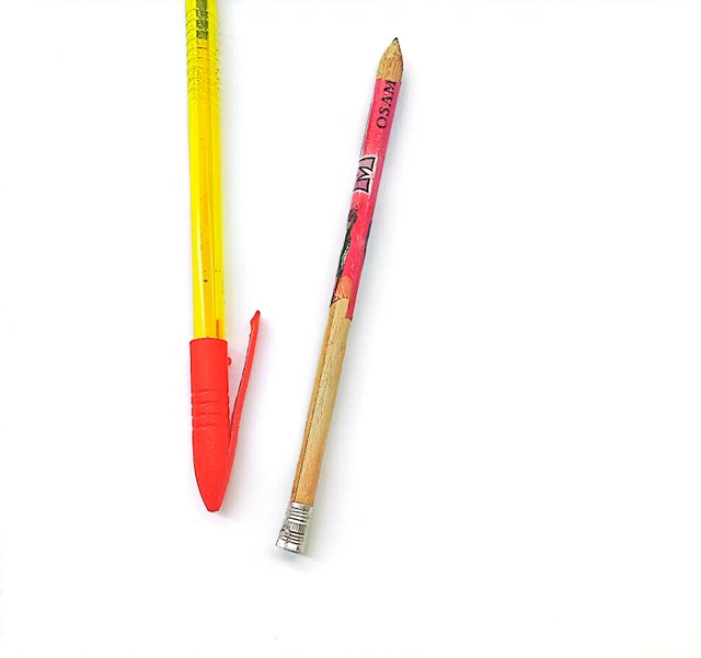
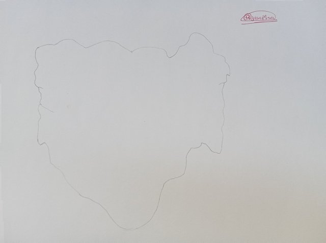
Here I make a freehand map of my country, Nigeria on paper. In drawing the map, I use pencil ✏️, pen 🖊️, and paper to make the freehand map.
 |  |
|---|
The first thing that I did, was stitching, that is drawing the map of Nigeria very light to get the perfect shape, before I then traced the drawing to look bold which you can see in the images I have shared.
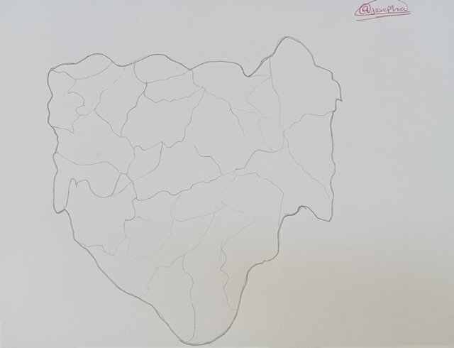
Within the freehand map that you made, locate where the capital of your country is and where the state/department/province where you live is.
In the freehand map, I have located where the capital of Nigeria which is Federal Capital Territory (FCT) Abuja is. The capital of Nigeria (FCT) which is indicated in the freehand map, shows that the capital of Nigeria (FCT) is located near the center of Nigeria. The capital is a small region in Nigeria as compared to other states in Nigeria.
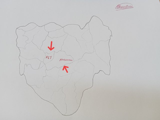
Currently, I live in Nasarawa State which is one of the states that is sharing broader with the FCT. The distance from the place I am living in Nasarawa to Abuja is about 30 - 50 kilometres from the federal capital territory Abuja. It is very close.
Locate within the map you made some states/departments/provinces that you know by heart (Only those that you know/remember at that moment, do not deceive yourself by cheating)
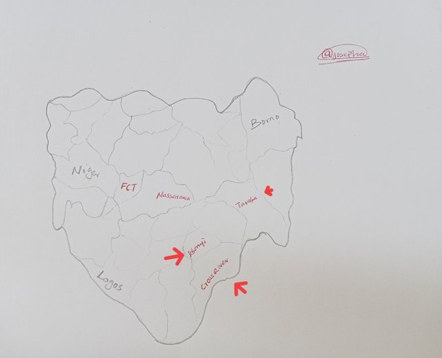
In Nigeria, I have been to several states the only states that I comfortably locate whenever I see a map of Nigeria are:
- Cross River
- Taraba
- Ebonyi
Mention 3 places in your country that you still don't know and that you would love to visit and why.
In Nigeria, the 3 places that I still don't know and which I would love to visit are:
- Borno
- Niger
- Lagos
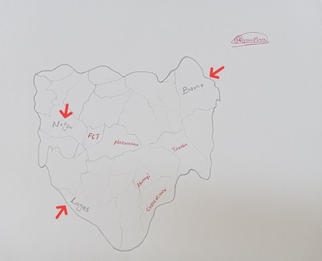
Lagos state Is the state that I would love to visit in Nigeria for it is the most industrialized state that we have in Nigeria. I have heard so much about Lagos State as the commercial hub of Nigeria where almost all the headquarters of companies, industries, and even government agencies are located in Nigeria.
Despite being a Nigerian I haven't been to Lagos State before I would love to visit Lagos and the two other states I have mentioned and indicated using pencil in the freehand map.
Reply:
a) What is a map for you?
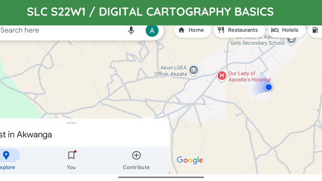
Just as I have earlier introduced the word map, which I said is a visual representation of a place is what I understand by map. I also, understand that map highlights the spatial relationships between cities, roads, landmarks, political boundaries, and other things that can be found in a place.
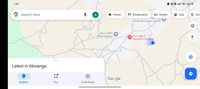
Screenshot from my phone
The map helps me to simplify complex geographic information that I may find difficult to understand in a very simple way for me to navigate through. This is the more reason why I always like using the map on my phone whenever I am traveling to a place that is my first time visiting.
b) In your opinion, what are the most relevant elements to understand a map and why?
In my opinion, based on how far I have been using maps to track the location of a place I can comfortably tell you that the most relevant elements to understand a map are;
Title: which helps to explain what the map stands for.
Legend (key): This helps me to identify features like cities, rivers roads, and so on when using the map.
Scale: In a map this is what indicates the ratio between actual distance and that on the map.
Compass: In a map this helps us to know the direction of where he or she is.
Several other elements are not shared here. Having said that let me take you through the importance of these elements.
They provide us with clarity and context
They enable us to navigate easily
They help us to analyze data
They help to foster accurate decision making which without them it would be difficult for us to interpret maps.
c) In your opinion, is cartography important or not so important? Why?
Yes, cartography is important because it plays a very important role in how we can navigate, understand, and interact with the world without cartography in the world we would have lacked the tools like a map to visualize interpret, and make informed decisions about weather and space. It helps us to navigate easily.
I am inviting; @dove11, @simonmwigwe, and @ruthjoe
Cc:-
@soywilfredg
Efectivamente es así amigo @josepha (78) la cartografía es una gran herramienta visual que nos permite orientarnos y conocer el área específico. Me parece muy bien en la forma como lo explicaste. Bendiciones y éxitos 🥰