SLC S22W1 /Nociones Básicas de Cartografía Digital.
I am @shadow04
From #bangladesh🇧🇩
I hope everyone is well. Alhamdulillah, I am also very well. Today I appeared to join the SLC S22W1 /Nociones Básicas de Cartografía Digital competition. At the beginning of the competition I want to thank @soywilfredg sir for giving us such a beautiful competition.
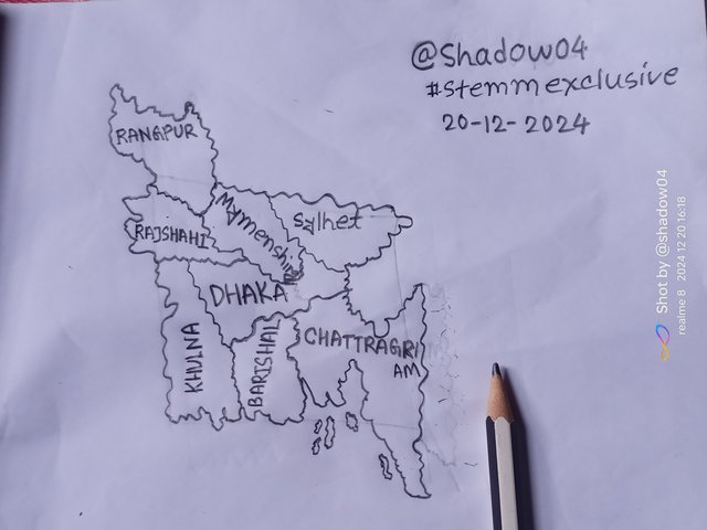
Above you can see the map of Bangladesh drawn by me freehand. There are total 64 districts in our country and since it is not possible to mention the names of so many districts in these small areas of the map, and I do not know the names of the rest of the districts except for a few districts. So I have only mentioned the eight divisions into which our country is divided in the map.
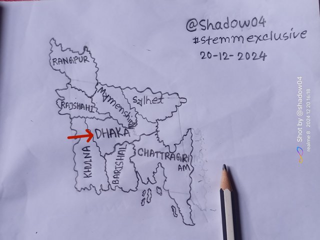
In the image on the right, I have identified Dhaka, the capital of my country, by the red arrow. It is a division located almost in the middle of our country. It is surrounded by Rajshahi, Khulna, Barisal, Mymensingh and Chittagong.
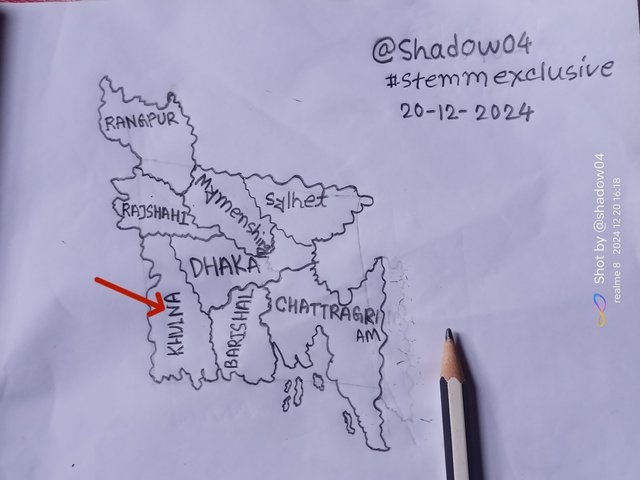
In the figure on the left, Khulna, identified by the red arrow, is the division where I live. I was born in this division and grew up here since my childhood. My division has neighboring country India on one side, Bay of Bengal and Sundarbans on one side, Barisal on one side, Dhaka on the other side and Rajshahi division on the other side.
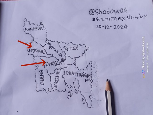
In the above picture you can see Rajshahi and Dhaka divisions identified by red arrows.
When I was young, my younger uncle used to live in Dhaka as a job. So I went to my uncle's house that is Dhaka Division at that time. I had two Japanese language (JLPT) exams at the American International University of Bangladesh in Dhaka on July 7th last year and December 1st this year. So I went to Dhaka to participate in them.
In 2019 when I was a student of class 9, we were taken from school to Rajshahi University, the famous Bagha Mosque and Shaheed HM Kamruzzaman Botanical Park. Went to Popular Diagnostic Hospital.
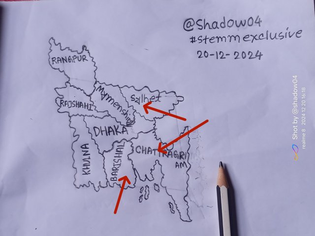
I have never been to these three sections of Barisal, Chittagong and Sylhet marked with red arrows on the map. I want to visit these places for some special features but to know about those categories.
• Kuakata Beach in Barisal is on my list of favourites. Because there are only a handful of beaches in the world where you can enjoy both sunrise and sunset. And Kuakata is one of those beaches.
• Chittagong has the longest natural sandy beach in the world, known as Cox's Bazar Beach. It is about 150 km long. I want to go to Cox's Bazar because of its amazing beauty.
• The most beautiful natural place of Bangladesh "Sajek" located in Chittagong. Chittagong is basically a hilly division and Sajek is a hilly place that is located above the clouds. That is, if you go to Sajek, you will see the clouds far below you from there, this beautiful view above the clouds is really worth seeing. Also, there are many beautiful waterfalls in Chittagong's hilly area, among which Himchari Waterfall is one of the attractions for me.
• Sylhet is famous for the popular tea gardens of Bangladesh, Jaflong, Ratargul and many other natural beauty spots. Especially Jaflong and Sadapathar areas of Sylhet are unique to me.
A map is a representation of the earth or the interior of the earth extending over a certain area, through which we get an idea of its geographical location, climate, size and environment. Maps are a very important part of our human life.
Maps are used to show us about a place and its geographical environment. And to convey these things, some important elements are attached to the map, without which it is impossible to understand the map.
Title:
The title is an important element of the map that tells us about the main topic of the map easily, concisely and clearly. The title is usually specified in the blank space around the main body of the map.Scale:
Scale is an element that expresses the relationship between actual geographic distances on Earth and map distances. As a result, an idea of the volume of the geographical environment and the volume indicated on the map is obtained. Moreover, it helps to understand the exact location and measurement of various features in spatial analysis and maps. There are basically three types of scales.• Linear scale.
• Linguistic scale.
• Proportional scale.
Coordinates:
Coordinates are used to precisely determine any point or place on Earth using longitude and latitude. Coordinates have two components.Latitude: The angular distance of a point north or south from the Earth's equator is called latitude. It is measured in degrees, with values ranging from 0° to 90°.
Longitude: The angular distance of any point east or west from the Greenwich meridian is called longitude. Its value ranges from 0° to 180°.
Conventional Symbols:
Conventional symbols are universal symbols used to easily and elegantly represent man-made elements on maps. For example, blue lines for rivers, black parallel lines for roads, and small dashed lines on roads for bridges. Different symbols are used for other elements.Legend :
Legend is the explanation of symbols, colors and symbols listed consecutively in the blank space next to the original map. This makes the map much easier to understand.Relative Position:
Relative position is used to determine where you are on the globe. It is a variable feature i.e. relative position changes depending on time and situation and determines your location in simple terms rather than a complex coordinate system.Toponymy:
Toponymy is used to refer to the proper names of places in the world.According to me cartography is very important thing in our life. Cartography gives us an idea of where we are and the places around us.
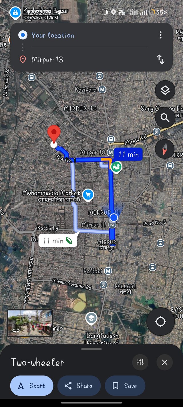
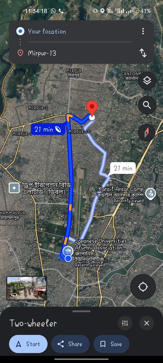
I have mentioned above the post, I have been to Dhaka only three times. It is worth noting here that only when I was a child I went to Dhaka with my father, moreover I went to Dhaka alone last year and this year. And going to Dhaka, I would have been in a lot of danger if I had not taken the help of Google Maps. Because I don't know anything about Dhaka city.
I used to find out about my location by just turning on my phone's google map and the location option of my phone, then I used to search by typing my destination in the search bar above and then turn on the direction option to reach my destination. Even when I boarded the bus I kept an eye on Google Maps to keep track of my location and where I was going.
 |  |
|---|
So, according to me Cartography is very important for all of us which I personally realized directly while taking the exam in Dhaka.
X promotion link :
https://x.com/MdNasirHos74975/status/1870102436851196317?t=K_67VA2qxGs7xw-CCGQKDQ&s=19
Hola shadow, éxitos en esta tarea.
Verificado en: 20-12-2024
Honorable sir,,
Thanks for verify my post 🥰