Coron Island is the third largest island in the Calamian Islands north of Palawan in the Philippines

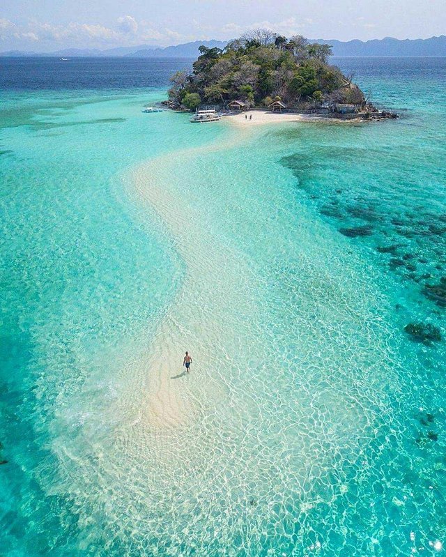
Coron Island is the third largest island in the Calamian Islands north of Palawan in the Philippines. This island is part of a municipality with the same name that is larger in its territory. The island is located approximately 170 nautical miles (310 km) southwest of Manila and is known for the existence of some junk ship Japanese relics of World War II. Due to its unique ecological form, the island is fully protected by several legal provisions.

Geography
Island
Calamian Islands
Bordering the waters
Sulu Sea
Long
20 km (12 mi)
Wide
9 km (5.6 mi)
The highest point
600 m (2,000 ft)
Country
Philippines
Region
Mimaropa
Province
Palawan
Municipalities
Coron
Demographics
Population
2649
The island of Coron and the surrounding fishing area are part of the ancestral territory of the indigenous people of Tagbanwa. It was officially set on June 5, 1998. [1] The island is known as Calis among the Tagbanwa and Coron people.

The island consists of two barangay as part of the Coron Munisipalitas, namely Banuang Daan and Cabugao.
Geography
A portion of Coron Island is between Busuanga and Culion Islands that overlooks the Sulu Sea and forms the eastern side of Coron Bay. Coron Island has a length of about 20 kilometers (12 mi) from north to south and the widest point 9 kilometres (5.6 mi).
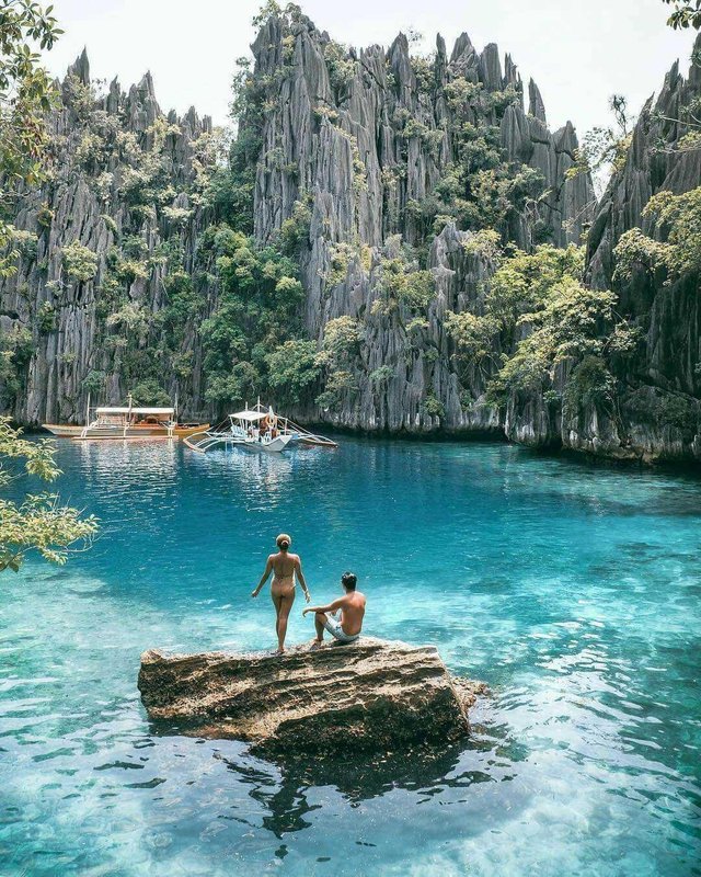
Coron Island has a wedge-shaped mountain surface dominated by steep cliffs and limestone Karst rock formations from the Permian period covering about 70% of its territory. The remaining 25% is hills and only 5% are relatively flat. There are 11 lakes located on a heavy terrain and 3 of them are connected to the sea through the underground. There are several mangrove forests in coastal areas.
Diving area
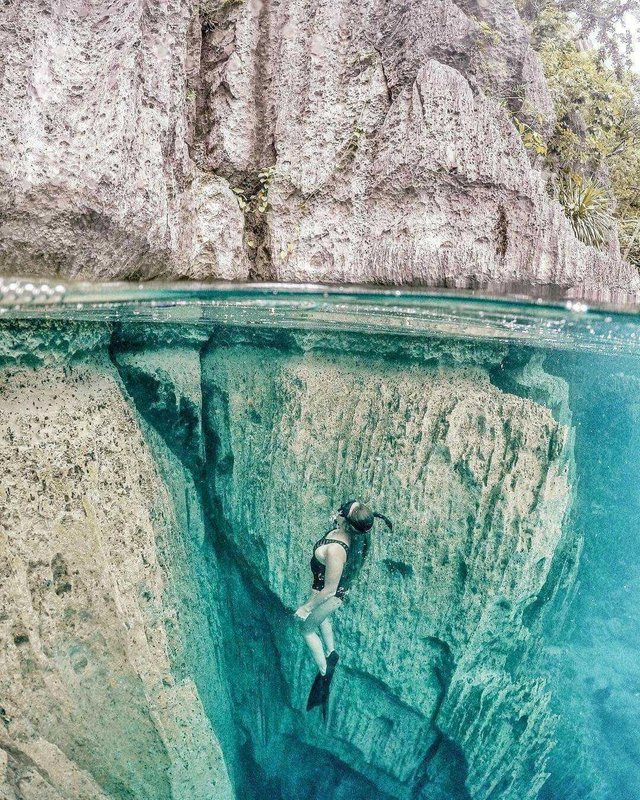
The area around the shipwreck has beautiful rock formations that allow it to be a submarine surface (snorkeling) with visibility under the sea stretching up to 80 feet (24 m). In general, the water here is calm. Coron Island is one of the most visited destinations for diving among wreck diving in the Philippines. Dive sites are found at depths such as 10-30 feet (3.0-9.1 m) and 120-140 feet (37-43 m). Most are in the range of about 60-80 feet (18-24 m).
The dive sites around Coron include many coral reef sites and the "Günter Cave", also known as the Cathedral Cave because at some point during the day, a beam of sunlight enters through a hole in the inner cave ceiling that illuminates the inside. Divers are possible to appear on the surface inside the cave because the hole in the cave sky allows fresh air to enter. The name of this cave comes from Günther Bernert, someone who became part of the first group of divers who explored the cave. He obtained information about the existence of a cave from a local fisherman.
I feel I read this article somewhere else, deja vu!
Hi! I am a robot. I just upvoted you! I found similar content that readers might be interested in:
https://www.revolvy.com/topic/Coron%20Island