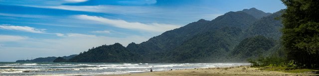
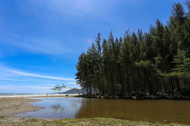
Terbangan River Estuary
Introduction
An ongoing scientific study to detect ancient ports and settlements on the western and southern coasts of Aceh is on the banks of the Indian ocean. The western and southern coastal regions of Aceh are a place that is always visited by European nations, an area that is preoccupied with the spice trade of plantation products during the period of Aceh Darussalam kingdom in the middle ages.
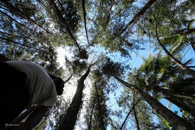
The 4-member team is @keuudeip as the lead researcher, @vannour as a photographer, and two research assistants @safar01 and @abelpasai. The present study is a preliminary survey to detect the potential to determine the point in subsequent research.
Narratives and scientific studies are done by @keuudeip, while I only upload photos to the public, especially on Facebook Group MAPESA ( @mapesa ) "MASYARAKAT PEDULI SEJARAH ACEH (Aceh Historical Concern Society)". @mapesa as a sponsor requires the expedition team to publish all photographs, data and information and that are found in the field to the general public through social media. All photographs in the course of scientific research sponsored by @mapesa are free license for the benefit of science.
The expedition trip to the west and south coast of Aceh has ended for 9 days (13-21 August 2017), and the team has returned safely to Banda Aceh. This trip is named #EspspedisiMuhammadGhauts.
Terbangan River Estuary
According to information from a piece of ancient documents that we use as the main reference in the course of tracing the estuary of the river on the west coast south of Aceh. There listed the estuary of the river Terbangan once used as a base of commodities pepper in the medieval and river use as a transportation route from upstream to downstream, the document dates from the 1850s AD.
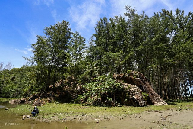
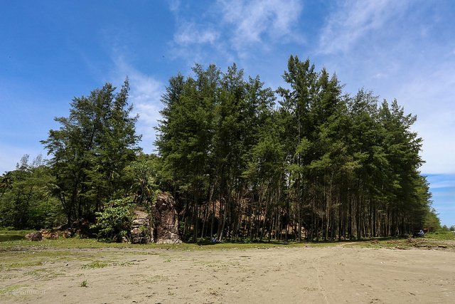
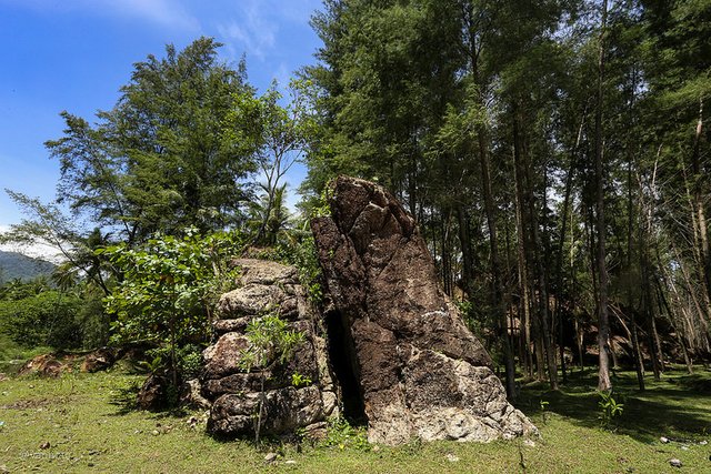
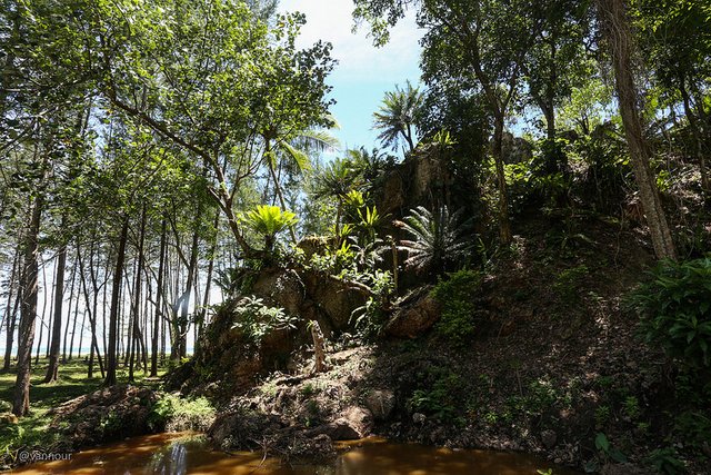
When we are in the location there are things that we encounter, at the mouth of the Terbangan river we find a hill of clastic sedimentary rocks of a conglomerate type.
The local people have a unique story about naming Terbangan, it's like a fictional story. Local people believe, the mountain rocks fly from elsewhere and land at the Terbangan river estuary.
Terbangan means Flying, now is the name for the beach in the village of Ladang Tuha, Pasie Raja, South Aceh Regency, Aceh.
Next posting:
Conglomerate Sedimentary Rock At The Terbangan River Estuary
Please see my old post about a trip for scientific research sponsored by @mapesa.
- Welcome to Rest Area Rigaih
- Seunagan River Estuary
- Kuala Batu or Quallah Battoo (History, Life and Nature)
- SteemitPhotoChallenge #50 Long Exposure - Entry2: Meukek Bay
- Track The Traces Of Aceh Civilization
- The Monkeys Ask For Alms
- Ancient Fortress of Trumon
- Whale Bay
- Ancient Cemetery Complex in Trumon
- The Ancient Flag in Trumon
- Ujong Manggeng Estuary
- Rasian Seaport
- New River (Krueng Baro)
- Fish Port of Kuala Susoh
- Bakongan River Estuary
- Suaq Bakong River Estuary, South Kluet
A very nice contribution, which I take with for "My Steemit Favorites Part 32.
https://steemit.com/photography/@homeartpictures/my-steemit-favorites-part-32-meine-steemit-favoriten-teil-32-homeartpictures-originalcontent
gladly
Thank you for taking part in this months #culturevulture competition. Good Luck
👍 thanks @bukhairidin
😄😄😄
good post
Bereh, kiban inan?
a very good post and a captivating image that fascinated me
@hidayahsteem thanks
Pictures look so cool. I would like to go camp there or something like that . On some pics, it looks like its from Pirates of the Caribbean :D
😃, @herboboi thanks
hebat aneuk aceh.. lon lake dukungan bak droneuh @vannour utk stabilitas penghasilan di steemit. teurimong geunaseh adun.
Kiban maksud nyan?
Pat online malam nyoe, saya ada peureulee sebentar, hehehe :D
Nyoe teungoh di lhok, InsyaAllah minggu depan ada di Banda
Wow, very beautiful photo. You have a wonderful nature. Come visit, I'll show you my place.
https://steemit.com/culturevulture/@anna-mi/culturevulture-ancient-burial-places-of-the-slavs-unique-monuments-of-ancient-times
Nice update, interesting stuff @vannour
@eroche thanks