This UH Research Center Is Revolutionizing Archaeology
The National Center for Airborne Laser Mapping has been finding places we didn’t even know existed.

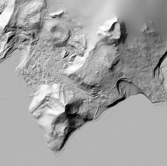
THE YEAR WAS 2012; the place, the Honduran rainforest. A small plane flew overhead, dangling an expensive pulsing laser over the dense, leafy canopy. Within just a few hours, Ramesh Shrestha, director of UH’s National Center for Airborne Laser Mapping, spotted it: a place forgotten for centuries, now visible in the form of a crude rectangular shape scratched into the earth. “Nature doesn’t make rectangles, and yet there it was,” he remembers. “When we removed the trees, it was unmistakable.”
Know More Click Here