GIS and the world pt 1
The GEOGRAPHICAL INFORMATION SYSYEM abbreviated as GIS is a tool for gathering, managing and analysing data.
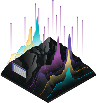
GIS integrates many types of data. It analyzes spatial location and organizes layers of information into visualizations using maps and 3D scenes. GIS reveals deeper insights into data, such as patterns, correlations, and situations—assisting users make smarter decisions.

Modern GIS is about participation, sharing, and collaboration. It helps understand how the technology is strengthening relationships, driving efficiencies, and opening communications portals in your community and the world at large.
Uses of GIS
- Disaster management
- Crime statistics
- Archaeology
- Health management
- Transport
These will be explained in subsequent posts and professionals that can use GIS will also be shown.
Do you want me to resteem your blog post to over 32,800 followers and many viewers to get more upvotes? For more info. go here: https://steemit.com/@a-0-0
Hello! I find your post valuable for the wafrica community! Thanks for the great post! @wafrica is now following you! ALWAYs follow @wafrica and use the wafrica tag!