The Beauty of Lake Holon: An Extraordinary Adventure
Lake Holon(Lake Maughan), T'boli, South Cotabato
On one pleasant Friday morning of May, my friends and I have embarked on an unforgettable journey to one of the most beautiful trekking place here in the Philippines, the Lake Holon of T'boli, South Cotabato. I was invited a month earlier to go to this place by some of my high school friends and decided to give it a shot. I already heard about the place a few years back and have always looked forward to visiting it. It is considered as one of the challenging trails here in Mindanao and was categorized as level 6 by difficulty.
Lake Holon or Lake Maughan as called by the local tribespeople, is actually the crater of Mt. Parker or Mt. Melibengoy in T'boli, South Cotabato. It is situated at around 4,700 feet above sea level. The stratovolcano's last eruption was last recorded during January 4, 1641. The 1641 eruption caused the formation of the crater lake. Lake Holon is famous for its crystal clear waters and is deep enough that up to this moment, its depth was not yet measured. It was named after an American who died with Gen. Parker on a plane crash during the 1930s when they are surveying the place.
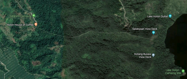
Kule Trail, above, is one of the trails to the camping site; below is the Salacafe Trail.
We jumped off from the City of Koronadal at around 7:15 am to start our adventure. Transport vans are the most convenient way to go to the town of T'boli especially if you are a backpacker. There are also travel tours that are offering packages to visit the trekking place but we decided to commute, in order to maximize our time in the area. The travel fare from Koronadal to T'boli is Php 60.00 (around $1.20).
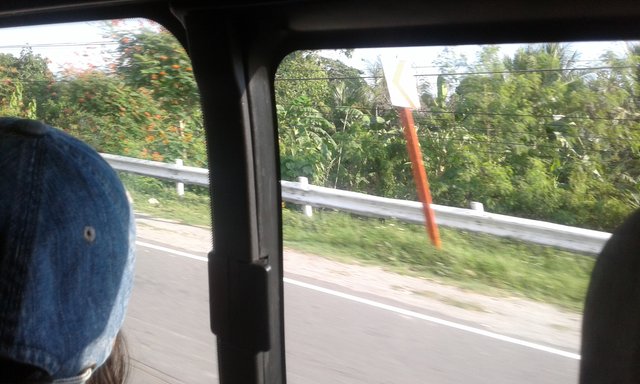
On our way to the town of T'boli, South Cotabato from Koronadal City via commuter's van.
Upon arrival after 50 minutes, we headed to the tourism office to confirm our reservation and pay for the necessary fees before going to the camping site. It is a good thing that we decided to have our trekking during Friday because weekends are almost fully booked and the area will be crowded. There are two trails to choose from, the Salacafe Trail and the Kule Trail. According to feedbacks, Salacafe is much easier but you will be able to see the whole lake when you walk via Kule Trail. So we choose the latter. We have paid around Php 550.00 ($10.00) for the three of us and they gave us a receipt which we will present upon arrival in the base camp.
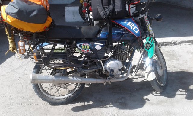
Habal-habal - a locally modified motorcycle and mode of transport to the base camp.
The base camp is situated at Sitio Kule of Barangay Salacafe, near Mt. Parker. In order to get there, we have to ride a customized motorcycle which is locally known as habal-habal. The motorcycle serves as the mode of transport of the locals in traveling the unpaved roads in the mountains just like in other places here in Mindanao. I am not new to this mode of transport since I am riding those in my community exposures in my work assignment, unlike my two companions. According to them, this will be an exciting experience for them. The motorcycle is capable of carrying 200kg and is also used to carry farm products. We hired two units on which we paid Php 550.00 ($10.00) each. Before riding out, I have to wear a mask and a hooded jacket, to protect me from the dust and scorching heat of the sun.
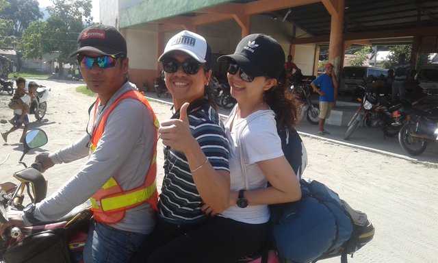
"Time to go!"
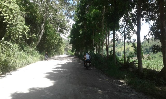
The start of our journey to Sitio Kule, Brgy. Salacafe
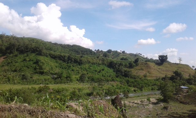
One of the many sceneries along the way
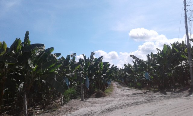
Going through a banana plantation, one of the sources of livelihood in the town.
The road going to the basecamp is quite bumpy since most of its sections are not yet concrete. Good thing, the road is dry because most of these roads are slippery during rainy days. It is 30-40 minutes ride where we have to endure a quite discomfort travel in order to get to our destination. Going there as expected is uphill so you really have to hold on your seat and the driver in order not to fall along the way.
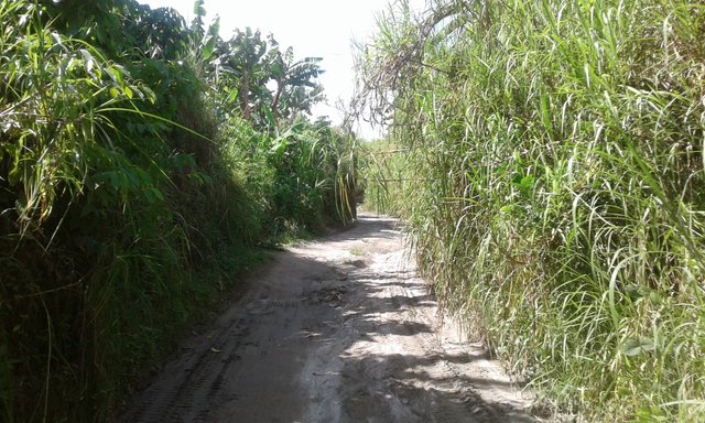
"The road to nowhere?"
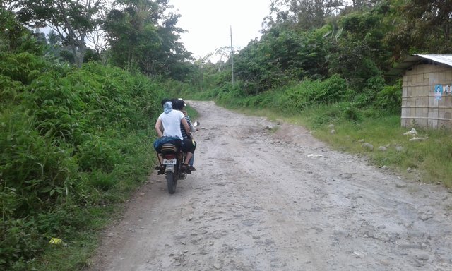
A bumpy, rocky and winding road to the base camp
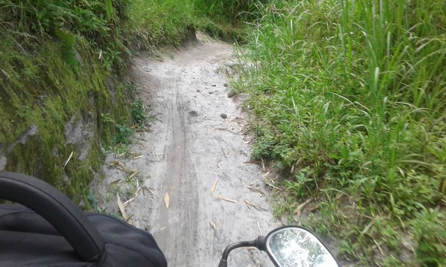
The real reason why habal-habal is the main mode of transport.
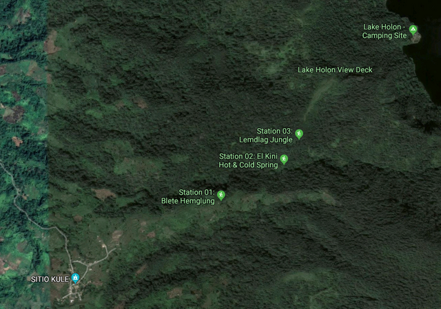
After 40 minutes journey, we arrived at the receiving area of Sitio Kule of Brgy. Salacafe. The area is one of the ancestral domain of the T'boli people, the local tribe in the town and the protectors of the forest sanctuary in South Cotabato. We were directed to a nipa hut where other trekkers already receiving their instructions and orientation before taking the trek. The trail consisted of 5 stations: Blete Hemglung, El Kini Hot and Cold Spring, Lemdleg, Lake Holon Viewing Deck and the Camping Site. It is a protocol that every group of trekkers will be assigned with a local guide to ensure safety during the trek. These guides are trained and are accustomed to the terrain. There are also porters which you can hire to carry your baggage. After 15 minutes of briefing, a prayer was offered for us by the locals to give us guidance and strength along the way.
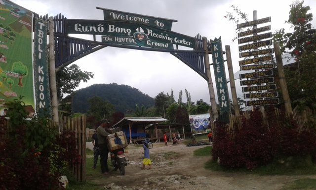
Receiving camp of Sitio Kule, Brgy. Salacafe.
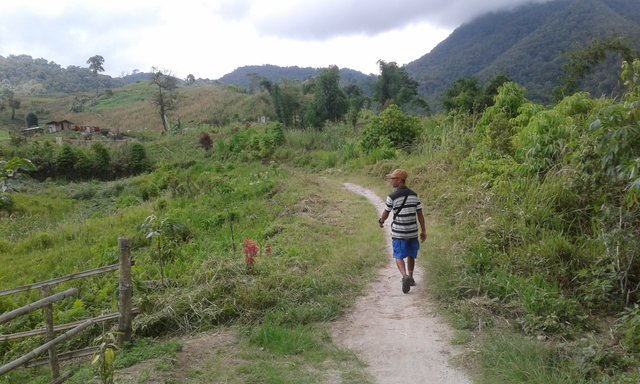
"Kuya Rudy", our local guide during the trip, leading the way to our destination.
According to our orientation, the walk will be about 3 hours depending on the pace. We started our journey from the base camp at around 10:45 am. As expected from me, I already had a hard time going uphill due to my heavy backpack and the decreased levels of oxygen because of the high altitude. Good thing, the guide offered to carry my backpack for me in order to get going with the team. This is only the first station and I already felt the weariness since I am not used to constant walking but I have to keep going.
The area is mostly farmlands where the locals plant their crops. Their products are mostly corn and bananas. The scorching heat added to the challenges that we have to face along the way. My two companions are quite slimmer than me so they are the ones who are leading our trail while the local guide is accompanying me. The local guide, "Kuya Rudy" or brother Rudy, told me that it is their duty to ensure that we will arrive at the camping site, safe and secured. According to him, there are many tourists before that are unable to endure the trail and have to be accompanied back to the base camp. It is still a good thing that I have somehow prepared for the activity and my body mass is much lighter compared 2-3 months ago. The only thing that I have to do is go on and survive the trail.
The trail from the base camp to the first station is upward, at around 25-30 degrees inclination.
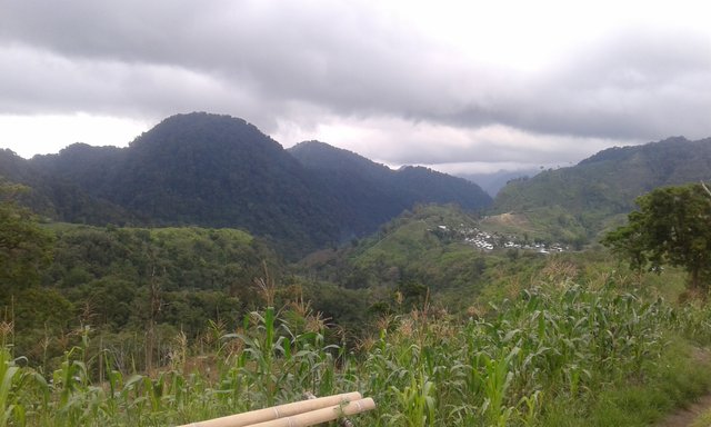
The view of the base camp from Station 1.
After around 45 minutes, we arrived at the first station, Blete Hemglung. Blete Hemglung was the local name for Giant Balete, a kind of tree that is situated in the area. There we took a brief rest while taking some refreshment from a local vendor. After 10 minutes, we proceeded to the next station.
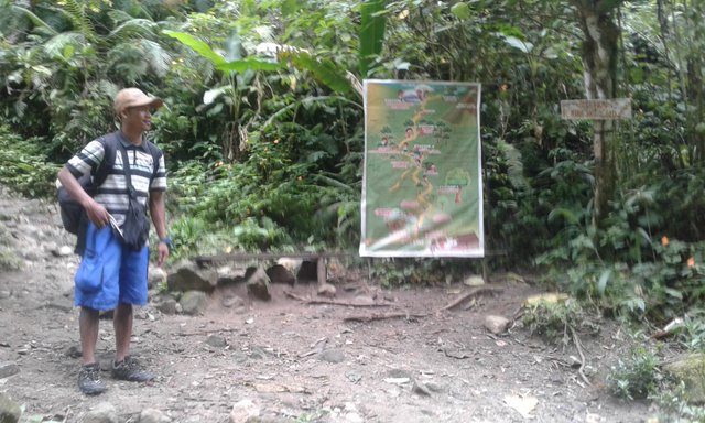
Going to station 2, most of the trail is already downwards. In here, the forest is already surrounding us. The air is quite cold now because of the trees. According to our guide, this area is where most of the locals get their potable drinking water. We actually passed by a water source and it is really refreshing.
Upon arrival in station 2, we get to take some pictures in the area. I admit I am quite in awe upon seeing the trail towards the next station. I think it is 45-50 degrees and I really wished myself at that moment, Good Luck!
Station 2 or the El Kini Hot and Cold Springs
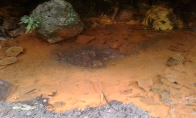
The hot spring
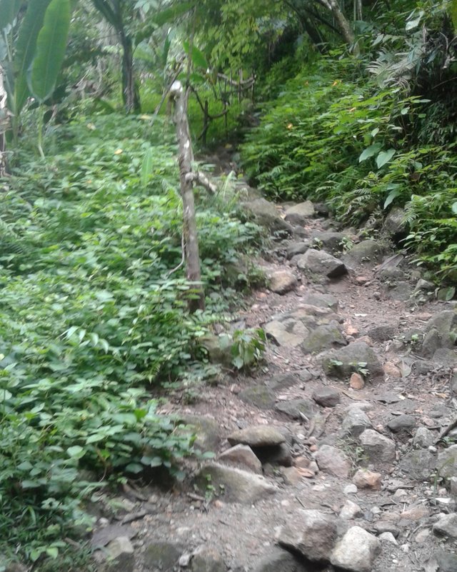
The trail to Station 3, Lemdleg or Forest.
The trail upwards to Station 3 or Lemdleg is quite challenging. The trail composed mostly of rocks that were unearthed while the trail was made and some wood supports to act as stairs. We have to hold on the railings that were made by the locals and some wood vines to ensure that we will not fall while climbing. By that moment, the rain is starting to fall which makes the trail much harder. Just a consolation that the rainwater that fell upon us made our body refreshed after the long walks.
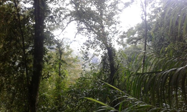
A view from the trail going to station 3.
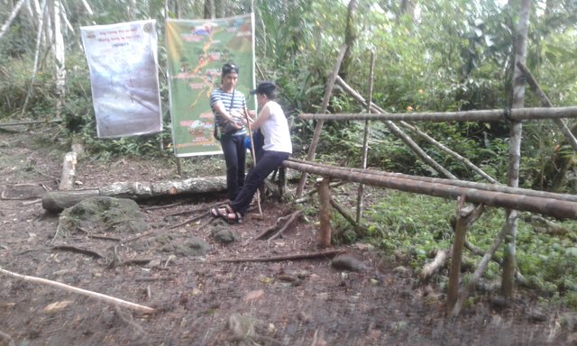
My two companions, taking some rest in Station 3.
It is around 12:45 pm when we arrived at Station 3. For me, it is already tiring but we have to get going since the rain became heavier. We have to cover our bags with big plastic cellophane and placed our gadgets in a sealed pouch. If you noticed, we are wearing sandals and slippers instead of normal hiking shoes. This is because of this scenario, the rainfall, and the expected muddy terrain. So far, it helped us a lot during the trek. From Station 3 towards Station 4, the trail is now mostly surrounded by tall grass. From afar, there is also a wide forest that is protected by the present regulations on conservation program. It is said that in these forest lives different kinds of rare animals that are protected as well. According to our guide, it will be now in a while that we get to see the majestic view of the lake.
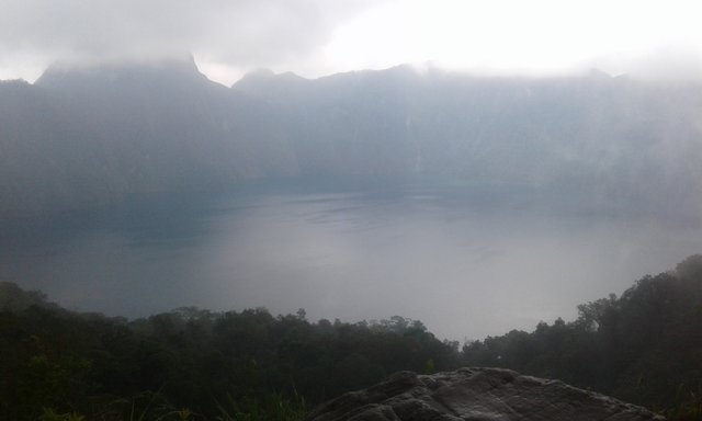
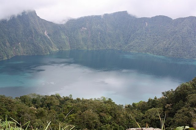
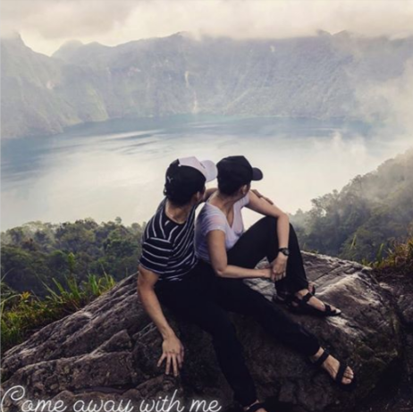
The fruit of our labor, the majestic view of Lake Holon!
"Picture Perfect!"
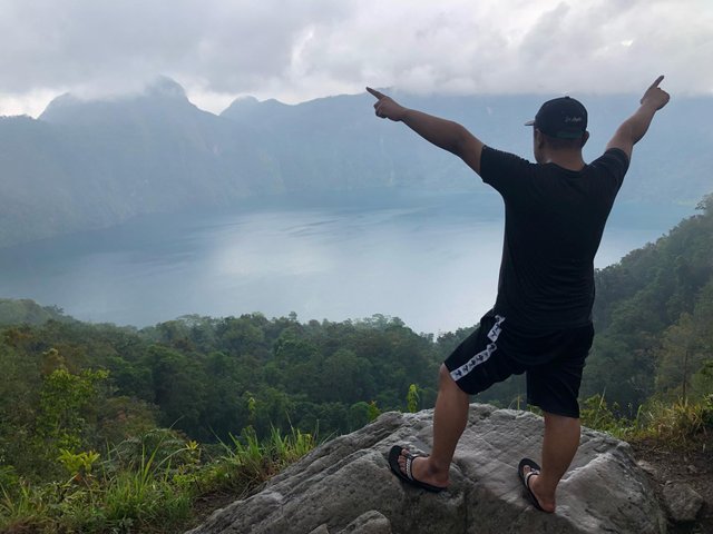
It is quite a magical view. The rain suddenly stopped when we arrived at the viewing deck of Lake Holon. It is still foggy though after the rain but still grateful that we come to witness this magnificent scenery. Seems all our weariness has diminished upon seeing what we came for. It is now time to have some pictures.
Our journey has not yet ended and we still have to walk for another 30-40 minutes towards the lake. After all that climbing upwards, we now have to scale a downward and final trail. This is where we gonna make use of our "Sungkod" or cane that we bought in the base camp. This will helps us to have leverage during descent.
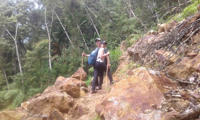
My two companion with their "Sungkod"
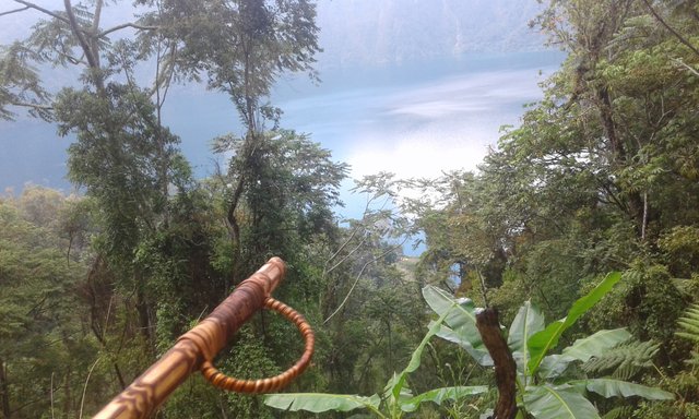
The view of the lake from our trail with my walking cane, designed by the local T'boli.
The descent was slippery as expected. I have to take a careful step. My leg muscles are also starting to strain so I have to move very slowly to avoid any serious injury. There are some portions of the trail where the supports are already damaged and need to be repaired. One mistake you will take and you might fall alongside the mountain.
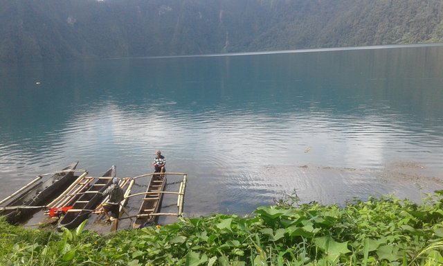
Kayaks are waiting to carry the tourist en route to the camping site.
It is quite a relief when we arrived at Kayak Station. This is our last stop before heading to our campsite. We took a rest for the moment and have some snacks after the long walk from the base camp of Sitio Kule. We walked for almost 3 hours as scheduled. We are really thankful for having experienced such a hard trekking trail.
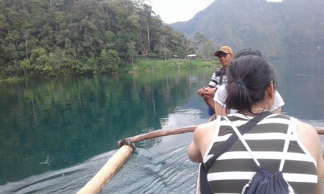
Kayak ride heading to the campsite.
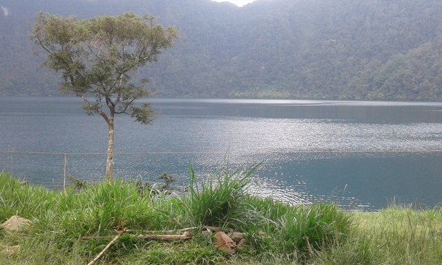
The view of the lake from the camping site
The journey is very fulfilling. We arrived at the camp at around 2:00 pm and immediately prepared the tents that we will use for the night. We are also welcomed by the local dogs that seemed very friendly towards the tourists. After setting up, I decided to go to the lake to have some dip. I will not miss this opportunity and I think it is my kind of reward after that exhausting trekking. My companions, on the other hand, decided to take some rest since they believed that the water is very cold.
They got it right. The water is really cold but it is quite refreshing for my aching leg muscles. What I found very interesting is when some small fishes started to nibble at my skin and making some tingling sensation. There is also a school of tilapia fishes from a distance that making a stroll alongside the lake. These fishes were introduced by the locals from a long time ago to the lake and have been the source of their food since then.
Just as I went up from the lake when other tourists arrived. A rain shower also fell afterward so I have to take some shelter in the tent that we prepared.
During the night, we have some tilapia that we bought from the local seller and have it prepared for us by the local guide. We paired the fish to our canned beans which make for our sumptuous meal of the evening. By then, a lot of trekkers already arrived at the camp, also preparing for the night. We are planning to prepare some bonfire when the rain fell again. It was very cold at that moment and we decided to have some rest and call it a day.
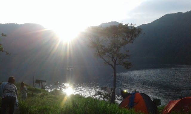
Good Morning, Lake Holon!
By the following morning, the beauty of the lake has become even more astounding while the sun shines towards the area. Some tourists decided to have some kayak on the lake while others have some swim. For us three, we decided to go to the local store to have some delicious native coffee for our breakfast.
After a while, we started to pack up our things and prepare to leave the area. This time, we will take the Salacafe Trail which is situated on the other side of the lake. Right before we took off, we snapped a last picture of the lake together with our guide.
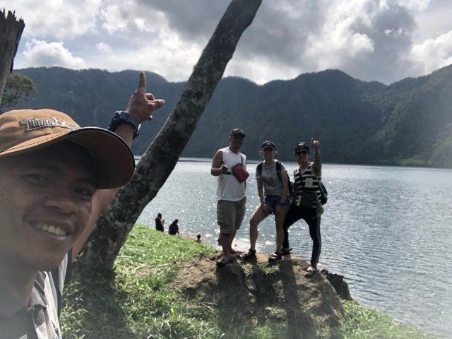
Groufie! Together with Kuya Rudy.
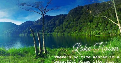
Lake Holon taken by my friend, JJ Nartatez.
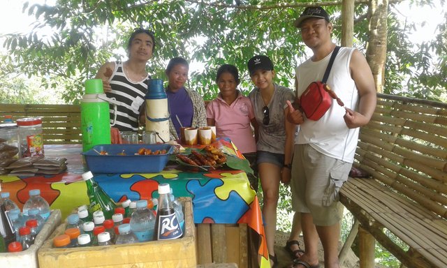
Together with the local vendors, offering some delicious local snacks and refreshments.
The Salacafe Trail is much easier compared to the Kule Trail. Maybe because the trail that we take now is all downwards. But it is not that steeper compare to the trail that we had the day before. As we go along, we come to pass by the trekkers who are still on their way to the site.
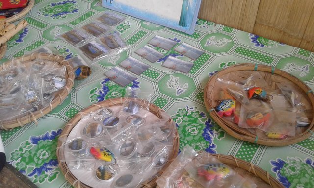
Souvenirs!
This travel that I had is one of the most unforgettable and fulfilling in my entire life. It is a challenge for me that I am very grateful that I have survived. Worth remembering and one of the most cherished. If someone will ask me if it is worth it, I would really respond, "Definitely!"
On to the next escapade!
This post was resteemed by @steemvote and received a 99.03% Upvote. Send 0.5 SBD or STEEM to @steemvote
What a gorgeous view, well worth the hiking to get there. Thank you for sharing this part of your country I had never heard of it before @edencourage
Congratulations! This post has been upvoted from the communal account, @minnowsupport, by SimplyEden from the Minnow Support Project. It's a witness project run by aggroed, ausbitbank, teamsteem, someguy123, neoxian, followbtcnews, and netuoso. The goal is to help Steemit grow by supporting Minnows. Please find us at the Peace, Abundance, and Liberty Network (PALnet) Discord Channel. It's a completely public and open space to all members of the Steemit community who voluntarily choose to be there.
If you would like to delegate to the Minnow Support Project you can do so by clicking on the following links: 50SP, 100SP, 250SP, 500SP, 1000SP, 5000SP.
Be sure to leave at least 50SP undelegated on your account.
Indeed a beautiful view, thanks for sharing with us!
This post has received a 7.89 % upvote from @boomerang.
Congratulations, Your Post Has Been Added To The Steemit Worldmap!
Author link: http://steemitworldmap.com?author=edencourage
Post link: http://steemitworldmap.com?post=the-beauty-of-lake-holon-an-extraordinary-adventure
Want to have your post on the map too?
Hiya, @LivingUKTaiwan here, just swinging by to let you know that this post made into our Honorable Mentions in Daily Travel Digest 525.

Your post has been manually curated by the @steemitworldmap team. If you like what we're doing, please drop by to check out all the rest of today's great posts and consider upvoting and supporting us.
Wow.. Thank you so much..
Posted using Partiko Android
a beautiful, wild landscape!