Trekking From Chamonix To Zermatt - Walkers Haute Route - Day 9
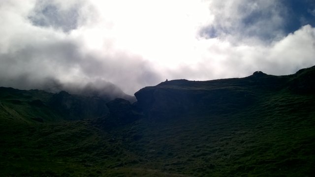
As I mentioned in my last post about day before, my morning started in wet conditions. There was a light rain during most of the night and I had no tent! Anyway, it wasn't any trouble to wake up at 6 AM as usual. One of our group members had a birthday, so we made a quick gradulation ceremony before hitting the trail at 8 AM.
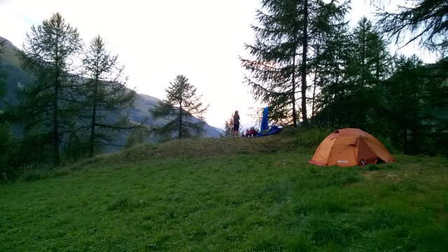
Our next camp was unplanned as well, we had no idea, how much of the trail we have to progress. We just guessed, we have to stay in next valley, because next after next is already too far away for one trekking day. Our mountain pass needed 1150 meters of ascent anyway and some 650 descent on other side, it didn't leave us any reserve for one more pass to cross this day.
The first half of the ascent was mostly civilized terrain with some forrested areas between small villages:
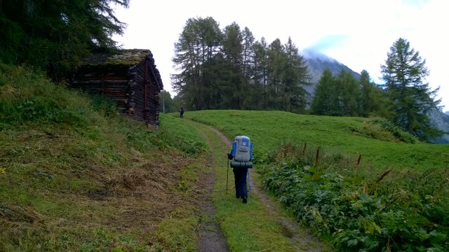
As you can see, we had almost like autumn here this morning. Fortunately we were able to see some nice sunshine on other side of the valley, because clouds were below the mountain peaks:
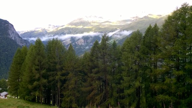
Very soon we found an opportunity to fill our water bottles. It's nice thing in Switzerland, there is public tap water in most of the small villages and we never had any problems to find drinking water on our way:
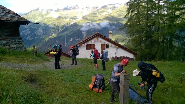
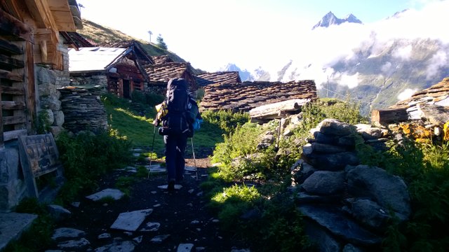
The highest village on this slope has very unique historical atmosphere, as you can see:
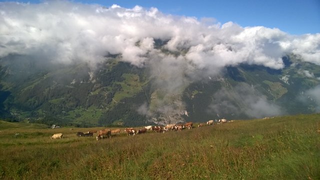
The last mark of civilization was a big herd of cattle eating on the pasture:
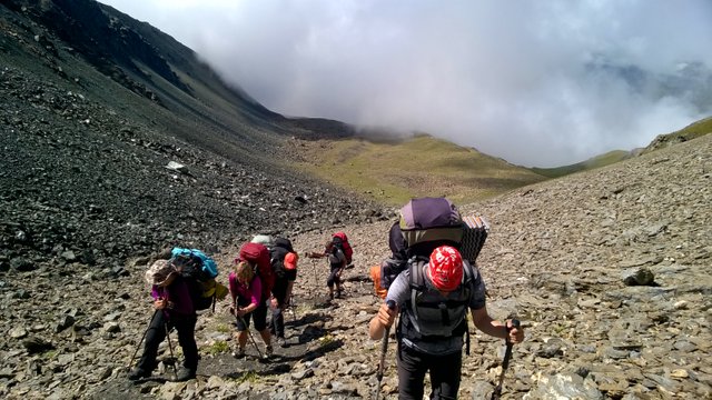
Above that we had just a final push before mountain pass to do:
And this is it! Our ascent is done after 4 hours and 5 km-s of walking, we are on Col du Tsate at 2868 m asl:
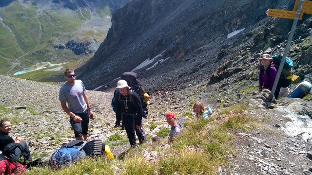
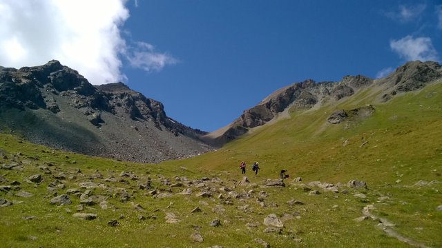
After the break on the pass we started our descent to the next valley. It was very peasurable to return into summer-zone again! New valley was warm and sunny:
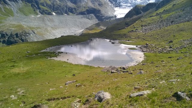
We passed a very nice lake with camping possibility, but it was too early to finish our day here:
We continued and found a perfect sceneric place for our lunch break, after 20 more minutes of walking:
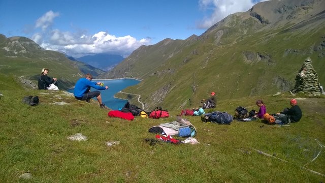
Our goal was to walk to the other end of the lake for overnight camping. The view to opposite direction was even more beautiful:
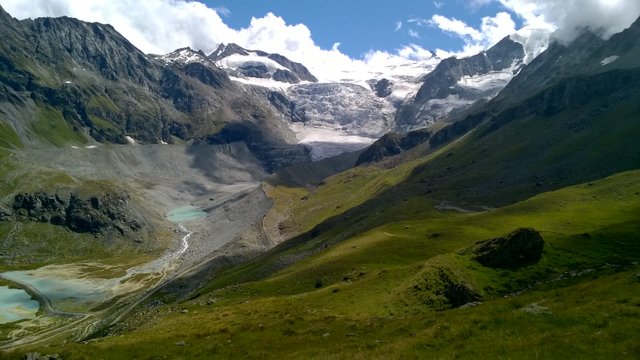
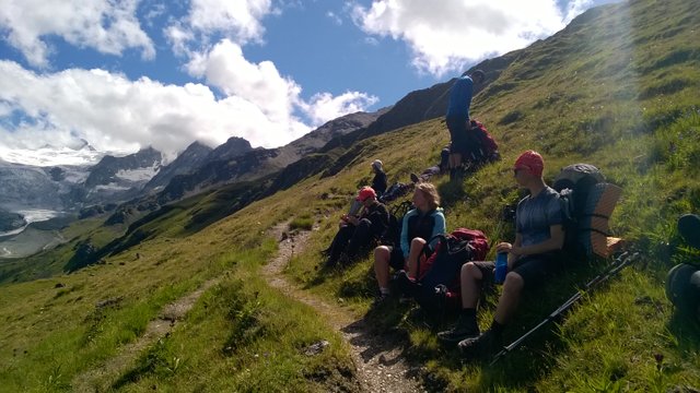
The rest of the way passed quickly with just one more break to take a breath:
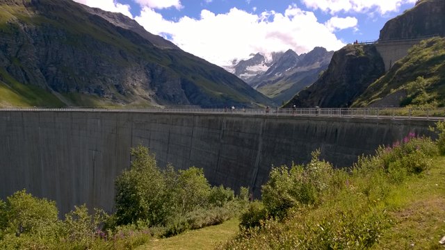
And very soon we were checking out this extremely big Barrage de Moiry:
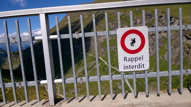
It could be the perfect place for rapelling, but this is forbidden here and we didn't have our climbing gear with us anyway...
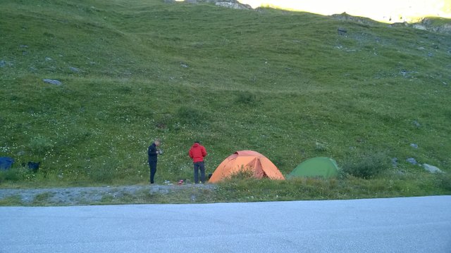
There was a nice cafe/restaurant near the other end of the dam with lots of tourists. It was still too early to set up our camp here, so we made a birthday celebration. It took some time, but eventually there was closing time and tourists left the area as well. We raised our tents (who had them, I didn't have anymore, remember?) and day 9 was officially finished for us!
This is it for now! There are 6 more days ahead with much of adventures... Thank you for reading and I really hope you liked it and got inspired!
To be continued...
[//]:# (!steemitworldmap 46.113524 lat 7.548408 long d3scr)
Congratulations, Your Post Has Been Added To The Steemit Worldmap!
Author link: http://steemitworldmap.com?author=martinsu
Post link: http://steemitworldmap.com?post=trekking-from-chamonix-to-zermatt-walkers-haute-route-day-9
Want to have your post on the map too?